Field Notes: It’s A Bird, It’s A Plane, It’s A Drone!
August 16, 2019 9:50 am
by VDOF Forest Health Specialist Katlin Mooneyham
The Virginia Department of Forestry is taking forest management to new heights! The agency has recently purchased three drones and certified three drone pilots (with three more taking the test soon!) thanks to a U.S.D.A. Forest Service Landscape Scale Restoration grant. The use of drones in forestry is a newer field and VDOF is investigating exactly how we can use these tools in forest management. So far, we have successfully used drones for the following purposes: water quality and logging inspections, forest health and fire.
Water Quality and Logging Inspections
For each timber harvest in Virginia, inspections are conducted to ensure water quality buffers are in place and stream crossings are up to code. Using the drone helps in this as it allows foresters to quickly see if things look good or helps to identify potential problem areas. In the picture below, the drone allowed our water quality specialist to see that the buffer meets the required criteria and that the bridge over the stream is correctly placed.
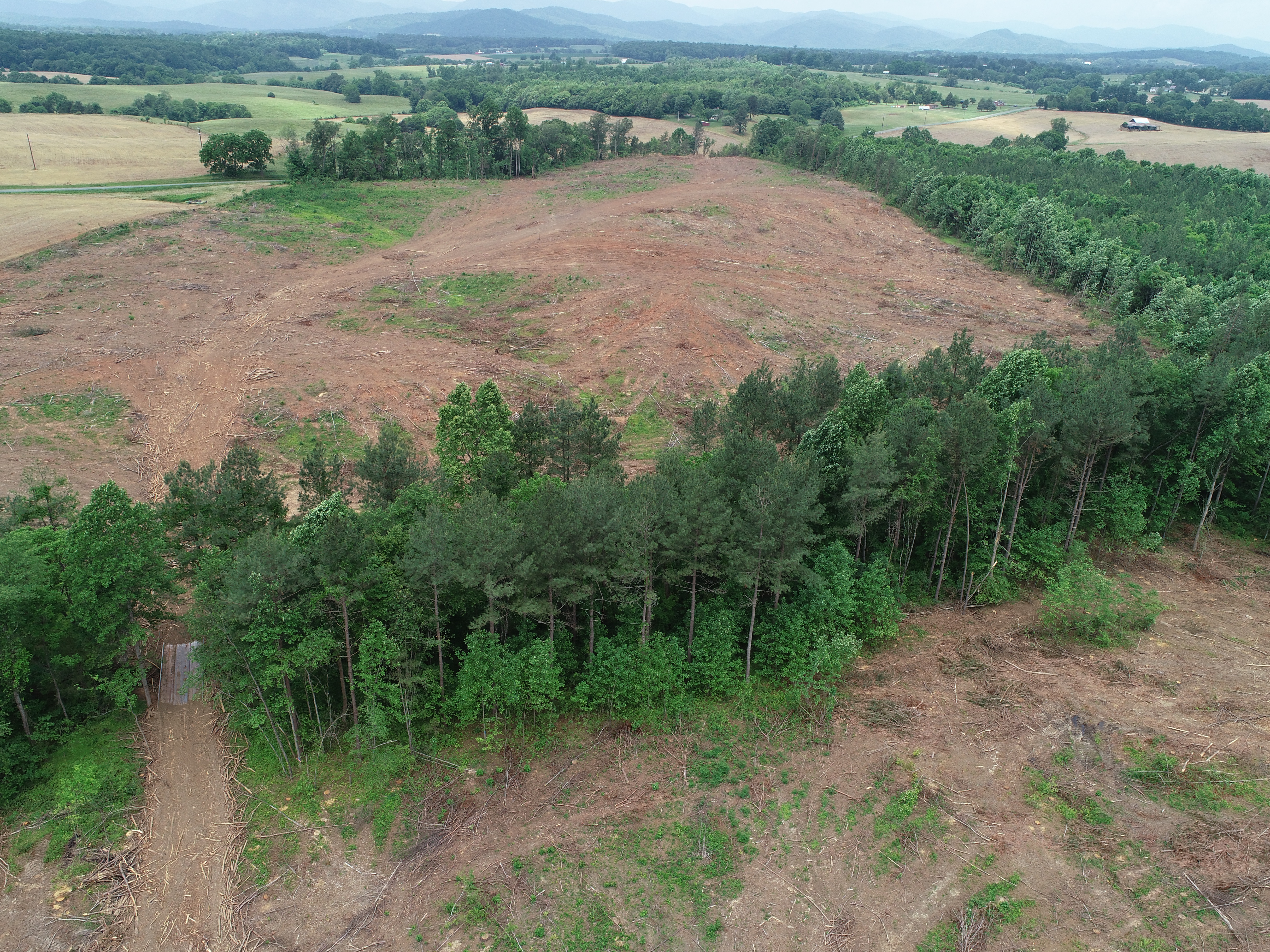
Logging inspection using drone imagery
Forest Health
The main way that drones have been used by the forest health program so far is to assess stand-wide issues from above. This “periscoping” technique is utilized when we suspect a problem within a stand and we want to see the full extent of affected tree crowns. We have gone to look at a stand where there was concern for a bark beetle outbreak and also mapped a study area at one of Virginia’s state forests where goats grazed to remove invasive species.
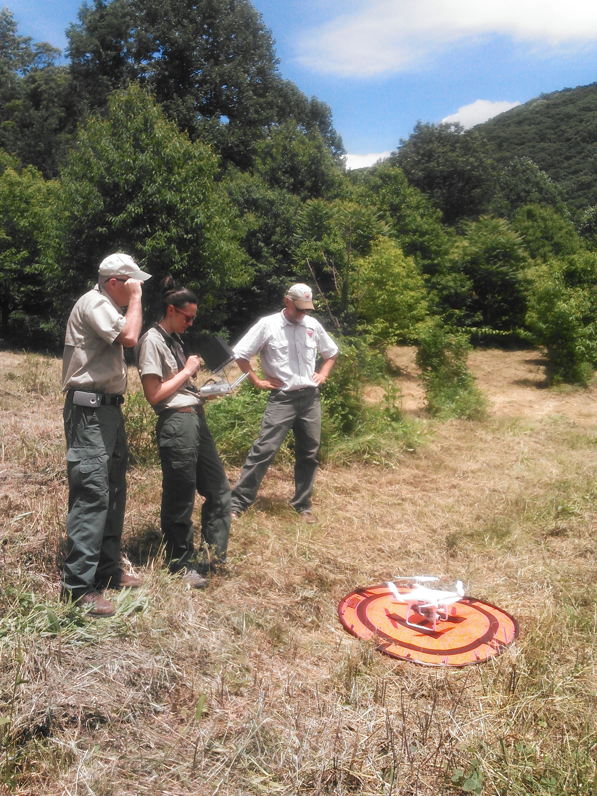
Forest Health Program Manager Lori Chamberlin all set for takeoff!
Fire
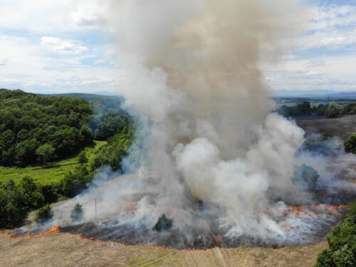
Prescribed burns are a key forest management tool and require constant supervision to ensure the fire stays within its boundary. Using a drone with an infrared (IR) camera can make sure that no ember ends up outside the fire line and can tell varying levels of heat within the fire. Using a traditional camera on the drone can also help monitor and show the burned area to any landowners or cooperators that also participate in this management practice.
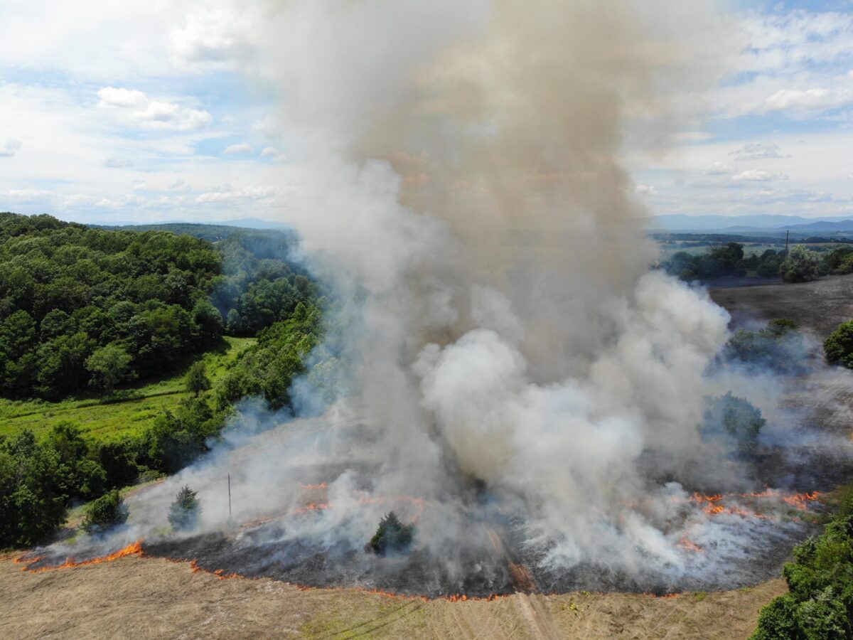
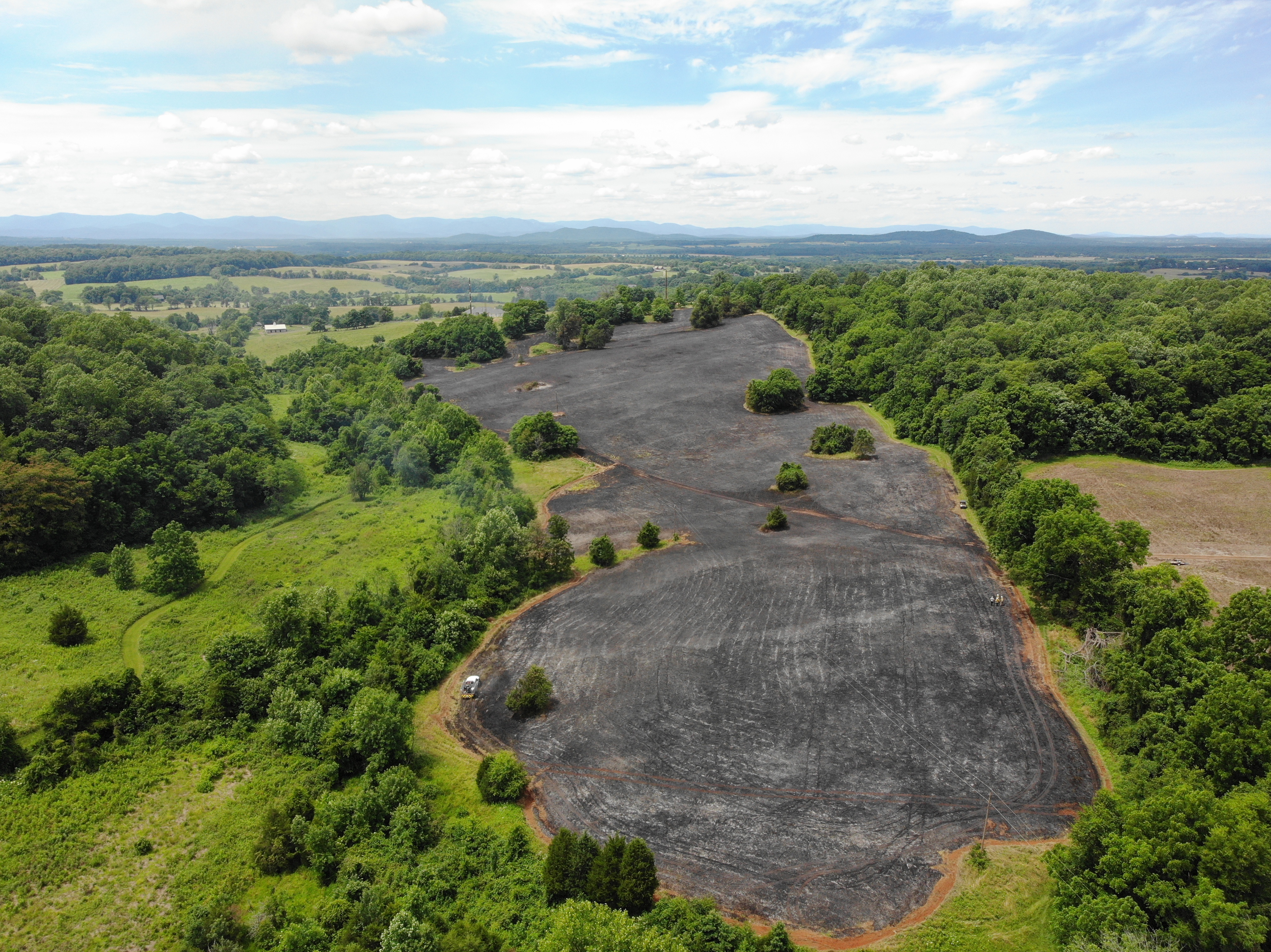
Burned area once the fire was complete
The Future Use of Drones in Forestry
We are constantly exploring new ways to incorporate drones into forest management. VDOF’s Urban and Community Forestry program as well as our State Forest managers are also looking into how to enhance their work with drones. Technology like this provides the agency a valuable tool to better serve the Commonwealth and help with many aspects of forestry!
Tags: Drone, Forest Health Impacts, Pre-Harvest Planning, Water Quality, Wildfire Suppression
Category: Fire and Emergency Response, Forest Health, Water Quality
